
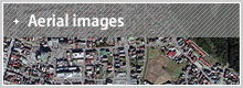
Aerial Images
Updated Jun. 21. 2011
These images of the affected area were shot from a plane equipped with a camera. It includes images shot vertically and at an angle as well as videos of the area before and after the Quake, revealing the extent of the damages.
Vertical aerial photos
Jump to the GSI (Geospatial Information Authority of Japan) website to see the aerial images, orthoimages adjusted to the scales of a map, and mosaic images created by combining multiple aerial images.
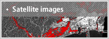
Oblique aerial photos
Jump to the GSI (Geospatial Information Authority of Japan) website to see images which were shot at an angle to show the undulation of the landscape and heights of the buildings.
Movie made from oblique aerial photos for pre/post-quake comparison
This is a movie we’ve made using the oblique aerial photos. You will find images of Ishinomaki city (Miyagi prefecture) before and after the quake.
Ishinomaki city, Miyagi
This movie was modified to provide a visual comparison of the Ishinomaki city with the left showing the city before and the right, after the Quake. The postseismic visual is a 3D textured rendition using the oblique aerial images (Pictometry). The oblique perspective shows how the buildings have disappeared. The 3D modeling on the video was done by PLW (U.S.) using the aerial photos taken by KOKUSAI KOGYO.
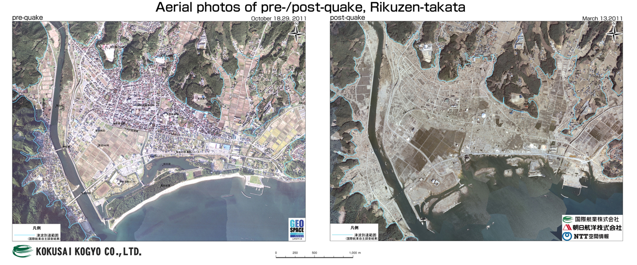
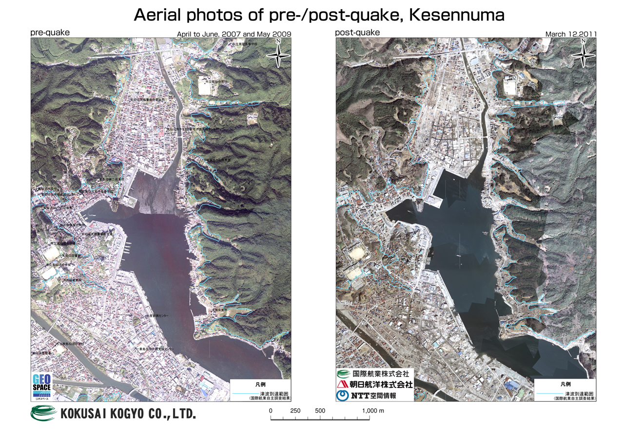
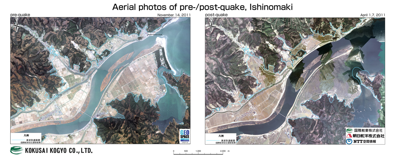
Aerial photos of pre-/post-quake
These are orthoimages, aerial images corrected to align with a map, of the cities, Rikuzen-takata, Kesennuma, and Ishinomaki.
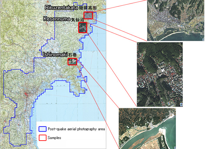
- [DATE] October 2010
- [EQUIPMENT] Analogue camera (RC30)
- [SCALE] 1/12,500 (accuracy equivalent to 1:2500 map)
- [RESOLUTION] 25cm/pixel