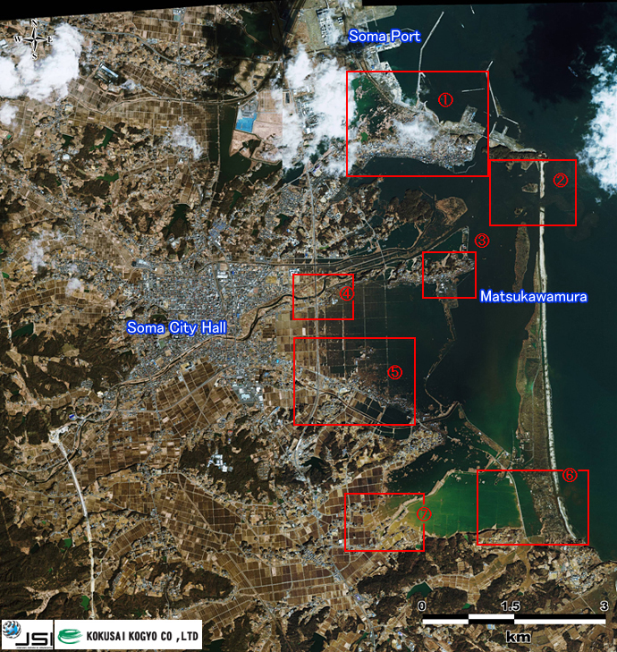
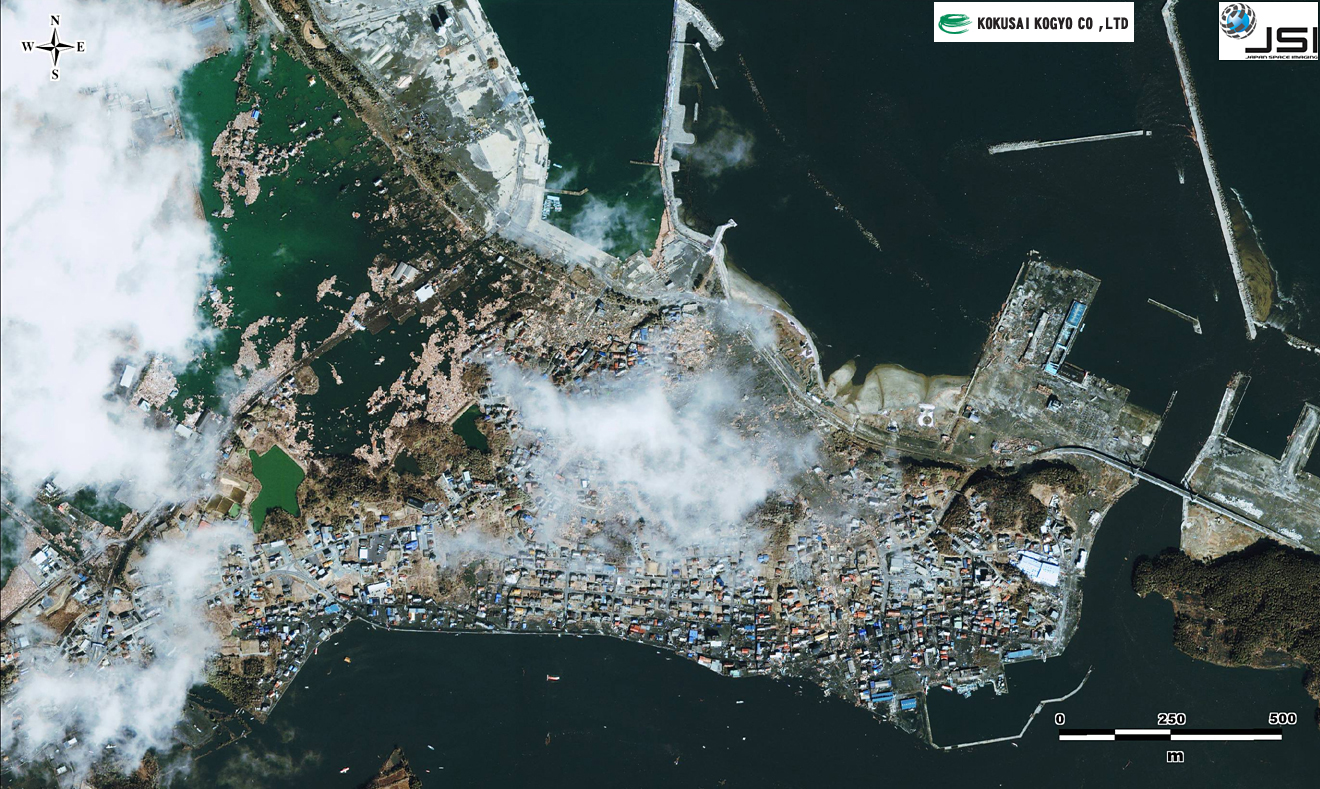
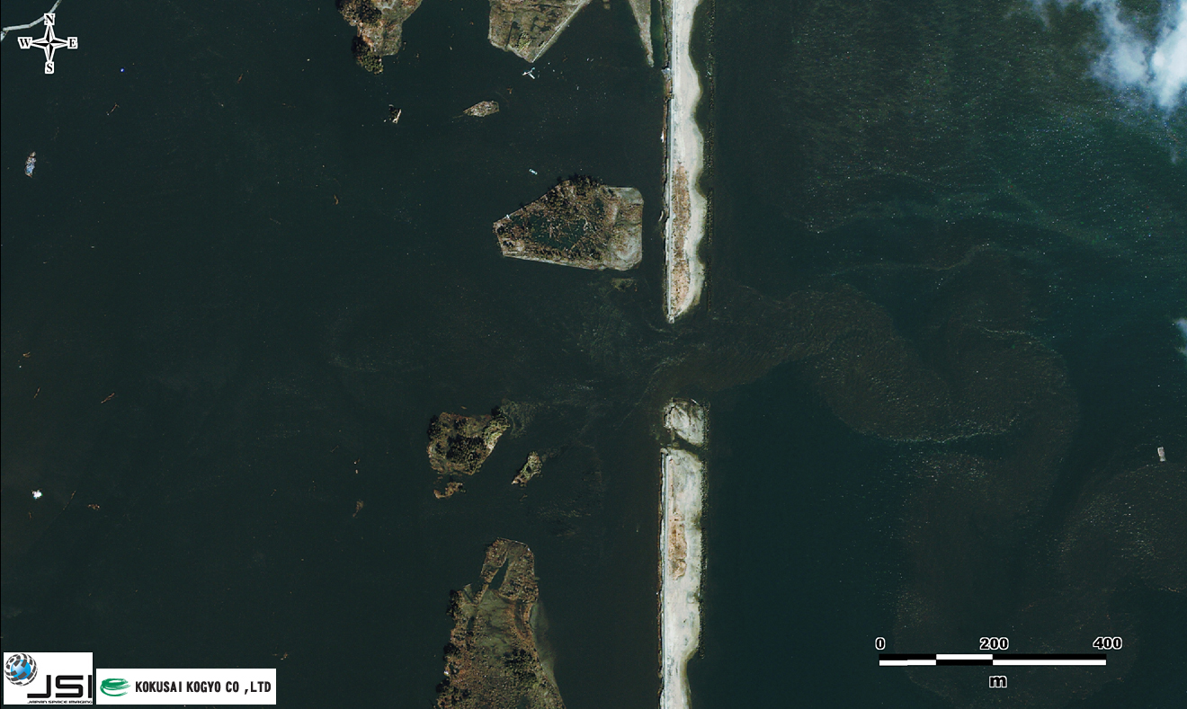
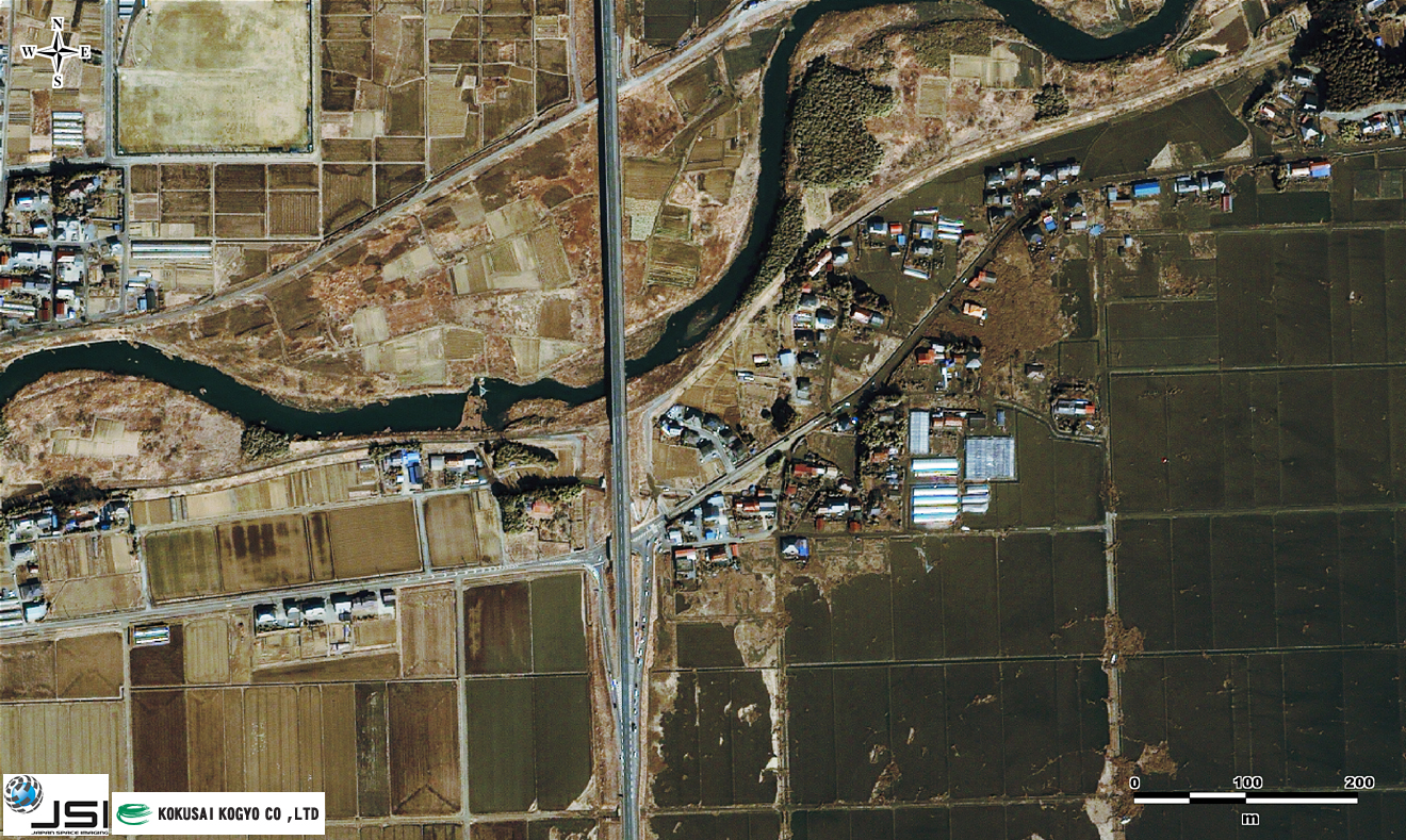
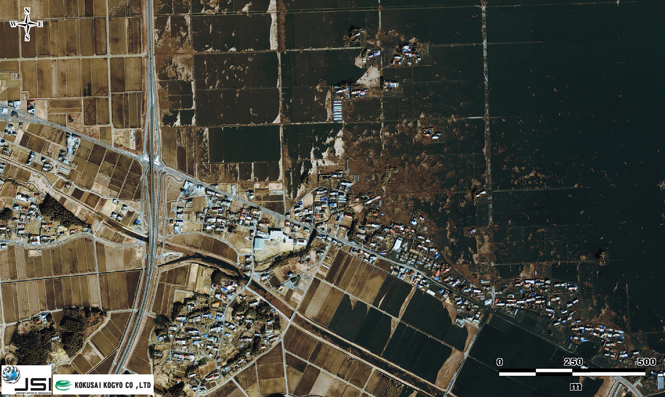
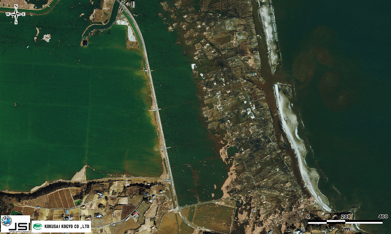
Home>Our Business>Climate change countermeasures>Disaster research activity>Great East Japan Earthquake Archives>Satellite images>☆Damages in Soma city via high resolution satellite images (true color)
☆Damages in Soma city via high resolution satellite images (true color)
| False color: Also referred to as infrared color, it is a way to display the intensities outside the visible portion of the electromagnetic spectrum by allocating near-infrared red and green data to what appears to be red, green, and blue . This method will display plants (strongly reflects near-infrared) in red. |
![]()
Copyright © Kokusai Kogyo Co., Ltd. All Rights Reserved.