JP

GREEN COMMUNITY

Green CommunitiesAll Questions
+ +
0
0
-
-

Green Communities

Kokusai Kogyo is leading the way towards safe and secure Green Communities from our geospatial information advantage — leveraging a wealth of expertise in energy, social infrastructure, disaster risk reduction and environmental conservation.

-
Where can solar panels be installed? It's no good if it's shady, right?
Generally solar photovoltaic (PV) panels are installed on roofs, however, to improve the power generation efficiency, numerous factors need to be taken into account such as the orientation and tilt angle of the panels, changes in climate and the sun’s trajectory, and the age and structure of the building in question.

Technologies and services of Kokusai Kogyo

Optimizing site location with solar radiation simulations

At Kokusai Kogyo we satisfy the solar PV needs of a wide range of clients from residential systems to large-scale power stations. To optimize solar PV generation efficiency sunlight hours and angle of incidence must be analyzed. We do this by simulating and analyzing solar irradiation for the specific building and roof shape, and panel tilt and orientation using a 3D model to accurately estimate electricity generation potential. Also, for public sector clients we find optimal sites for solar PV generation using geographic information systems (GIS) and by extensive due diligence such as regulatory and natural condition surveys. At Kokusai Kogyo we are helping numerous clients, large and small, public and private, to realize their solar power aspirations, and thereby helping make communities “green” and in harmony with nature.

Optimizing site location with solar radiation simulations

What is solar PV power generation?

Geospatial information technology can be used to estimate the solar power generation potential of each building. If you can accurately grasp generation potential, you can decide where to build solar PV power stations with greater generation efficiency. Green communities help achieve clean energy-based societies by efficiently locating all sorts of solar PV systems, from residential roof-top systems to large-scale “mega-solar” power stations.

-
Where is the best site for building a wind power turbine? I heard there are issues with noise and low-frequency sounds.
When developing wind power facilities you need to know the direction of prevailing winds, and when, how much and how strong the wind is at a particular site. There are also concerns over the impact on bird life, and the impact of low-frequency sounds (infrasounds) and turbine noise. Selecting an ideal site involves investigating numerous aspects such as making sure there are no impacts on residents’ lives and on the ecosystem.

Technologies and services of Kokusai Kogyo

Wind power consulting

Wind power is a highly efficient form of green energy. It is however, as the name implies, reliant on the wind. Therefore it is vital to conduct simulations to analyze wind conditions and grasp the power generation potential of a site before going ahead with construction. Moreover, wind power sometimes has an impact on the surrounding environment; therefore, according to the size of the development, an environmental impact assessment may be necessary. Kokusai Kogyo, through a group company, has extensive experience consulting on wind power developments throughout Japan.

We support wind power developments throughout Japan

We conduct advanced analysis for optimal wind power siting proposals

What is wind power?

The Earth’s topography creates the conditions for prevailing winds. Using advanced geospatial information analysis, we can find those invisible wind paths. Locating wind turbines in the path of prevailing winds can lead to greater electricity generation efficiency. We can assist in optimizing all kinds of wind power developments, on land, on the ocean, and from the largest of turbines to small residential systems.

-
Small-scale hydroelectric power turbines make electricity using water flowing in streams and irrigation channels, right? How do you know where to install one?
In our green community developments we pinpoint sites with high power generation potential with advanced geospatial information system (GIS) analysis techniques. Before going ahead with a project, of course, extensive site investigations into flow speed and volume, and environmental impact are necessary.

Technologies and services of Kokusai Kogyo

Small hydro consulting

At Kokusai Kogyo we use geospatial information systems (GIS) to organize a range of site analysis data such as topographic conditions, natural conditions, and laws and regulations to make optimal site proposals. We also provide our clients with extensive due diligence analysis into generation potential, cost estimates, and information on permits and regulations, as well as helping them overcome all the complex regulatory hurdles to make their projects a reality.

We conduct advanced analysis for optimal small hydro siting proposals

What is small hydro?

Small hydro utilizes small water flows for generating electricity. Hydroelectric power is not limited to traditional massive power stations, but can make the most of irrigation channels and small rivers.

-
We need to conduct regular thinning to rejuvenate our forests, right? I heard most of this wood is left to rot on the forest floor.
In our green communities we are already using wood from forest thinning in biomass power stations to generate electricity. Generating electricity from waste wood is a green energy technology that does not increase overall carbon dioxide emissions.

Technologies and services of Kokusai Kogyo

Wood biomass electricity generation consulting

We provide public and private sector clients with technical advice and support services for biomass electricity developments. We use satellite and aerial imagery to classify and measure the volume of forest resources, to grasp how much biomass can be used, to develop urban development visions that incorporate wood biomass power generation, and to evaluate a project's chances of success. Our experts propose innovative urban planning solutions that make the most of green energies such as biomass power plants for supplying both heating and electricity.

What is biomass power?

Biomass is a natural-cyclical method of power generation that uses wood off-cuts, waste food, livestock excrement and so on as a fuel to generate electricity and heat.

-
Electric cars are still expensive, but maybe I can drive one using a car sharing system?
Our green communities have car sharing systems so residents can use the latest electric vehicles. Car sharing is a system whereby registered members share the use of cars, negating the need for individual car ownership. Electric car sharing is gaining attention as a new social initiative for achieving environmentally-friendly communities.

Technologies and services of Kokusai Kogyo

Electric vehicle consulting

Kokusai Kogyo is helping to promote advanced “eco” cars such as electric vehicles and plug-in hybrid vehicles as infrastructure for the next generation. We are helping to bring about a car society that is in harmony with nature. In Green Community Tagonishi in Sendai City in northeast Japan, we are already using advanced technology to utilize various power sources such as solar PV panels in combination with electric vehicles (in place of storage batteries).

We are developing infrastructure for future generations.

Delve into our world: Disaster-resilient community development

What are electric vehicles?

Electric vehicles are gaining attention as a next-generation mode of transport that use no gasoline, running completely on electricity. We are supporting the adoption of electric vehicles by proposing navigation systems that use three-dimensional data and planning optimal charging station networks.

-
Our community has an energy management system (EMS), but what exactly is it?
The energy management system visualizes exactly how much energy has been used, when, how and for what it was used, and controls various electrical devices as well as being a management system for automatically optimizing energy use volumes. EMS is a technology for avoiding waste and building communities that are in harmony with nature.

Technologies and services of Kokusai Kogyo

Visualizing energy generation and consumption

We at Kokusai Kogyo provide low-carbon urban and regional planning consulting solutions employing energy management systems. One leading example that was highlighted at the World Conference on Disaster Risk Reduction by the United Nations is the use of an energy management system for visualizing energy in the eco-model town at Green Community Tagonishi in Sendai City. The system at this community not only visualizes the energy at every household, it also visualizes the power generation and consumption of the entire community. The community has attracted attention as an urban development initiative in harmony with nature and for its innovative mix of disaster resiliency, smart use of energy using both electric vehicles and renewable energy sources such as solar photovoltaic systems.

Delve into our world: Disaster-resilient community development

-
I’ve heard that trees absorb carbon dioxide (CO2), but is this the same for all trees?
While all of the trees in a forest look the same, the rate of carbon absorption differs depending on the type and size of the tree. We can accurately calculate the CO2 absorption amount of a forest by analysing data captured using numerous advanced sensors, from land based to aerial and satellite imagery, to estimate the tree type, height, density and so on.

Technologies and services of Kokusai Kogyo

Helping developing countries prevent deforestation and forest degradation as a champion for REDD+

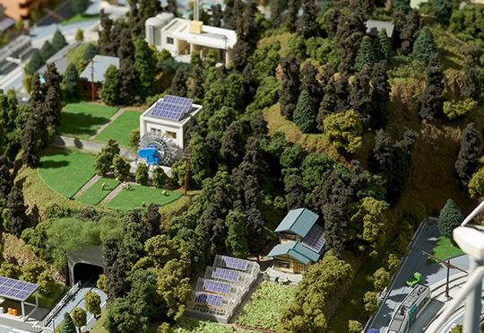
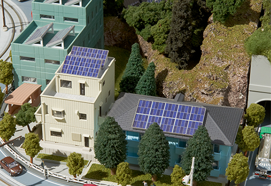
Reducing Emissions from Deforestation and Forest Degradation (REDD) is an effort to create a financial value for the carbon stored in forests, offering incentives for developing countries to reduce emissions from forested lands and invest in low-carbon paths to sustainable development (source: UN-REDD Programme website). To move forward with REDD+ (with sustainable management of forests, conservation of forest carbon stocks and enhancement of forest carbon stocks constituting the "+" in REDD+) activities, it is necessary to conduct monitoring of carbon stocks in developing countries that have insufficient statistical data. At Kokusai Kogyo we are helping a number of developing countries – that have insufficient statistical data – to monitor their forest carbon stock using our extensive expertise in remote sensing and overseas development aid work.

Consulting and surveys related to REDD+

Consulting and Surveys related to REDD+
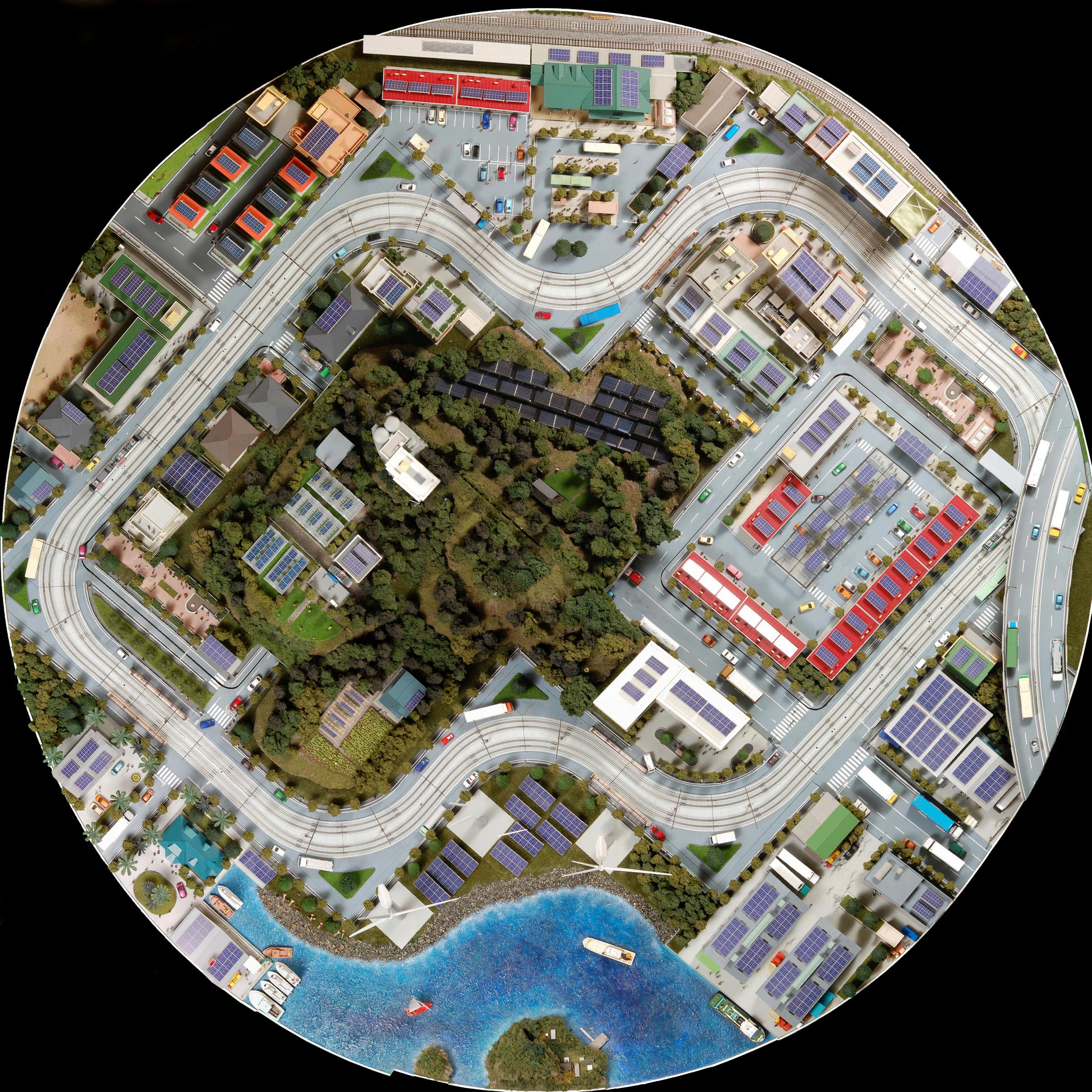
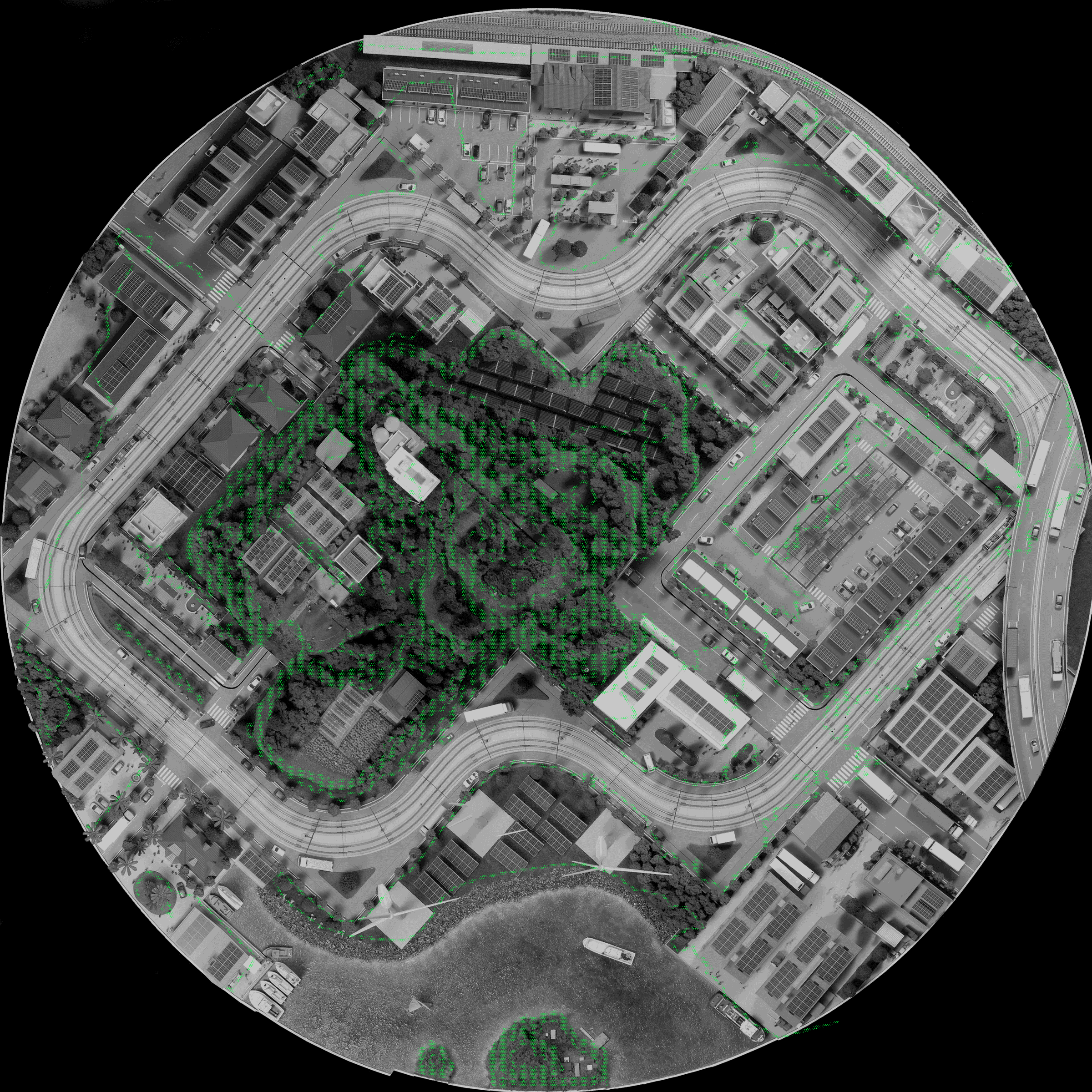
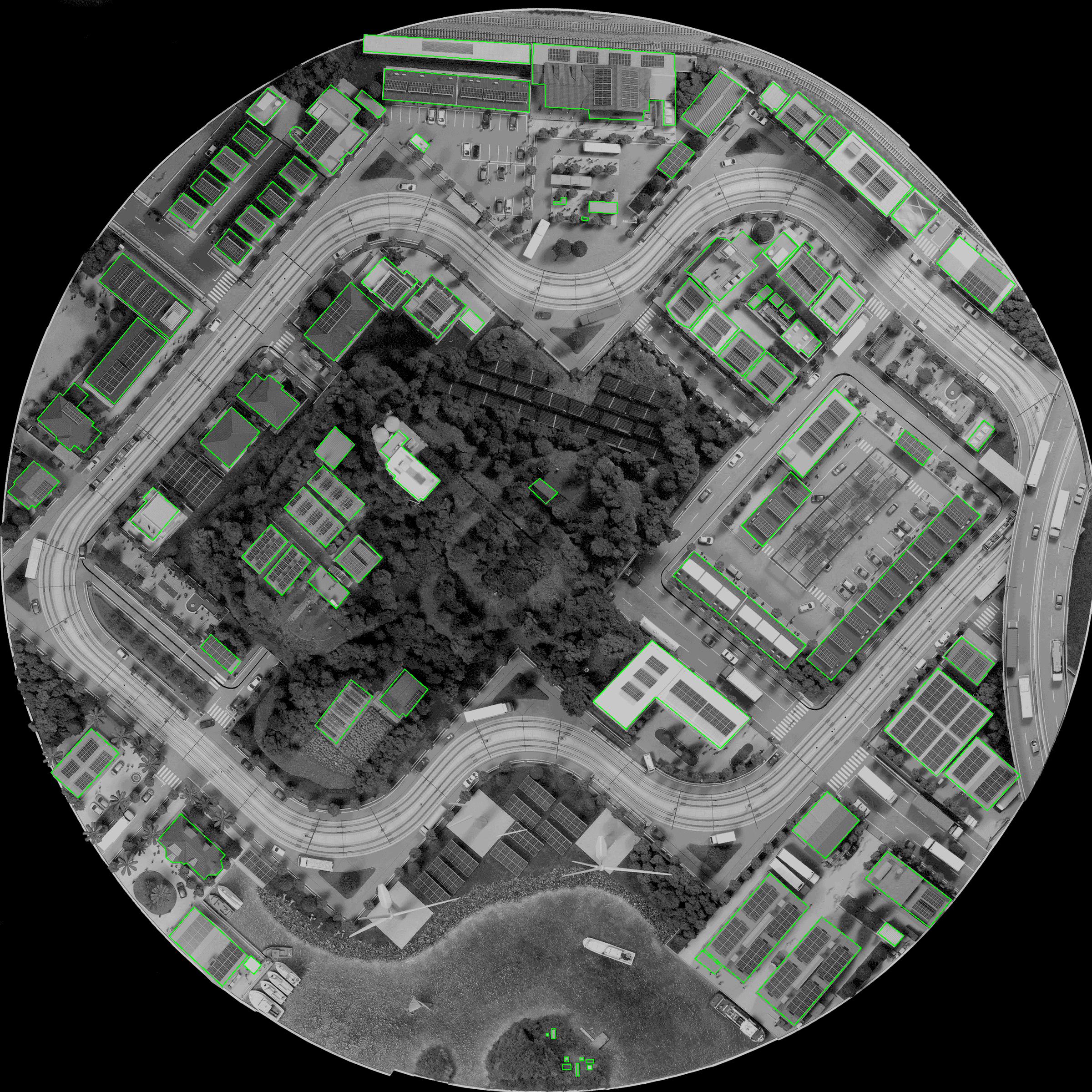
Measuring forests

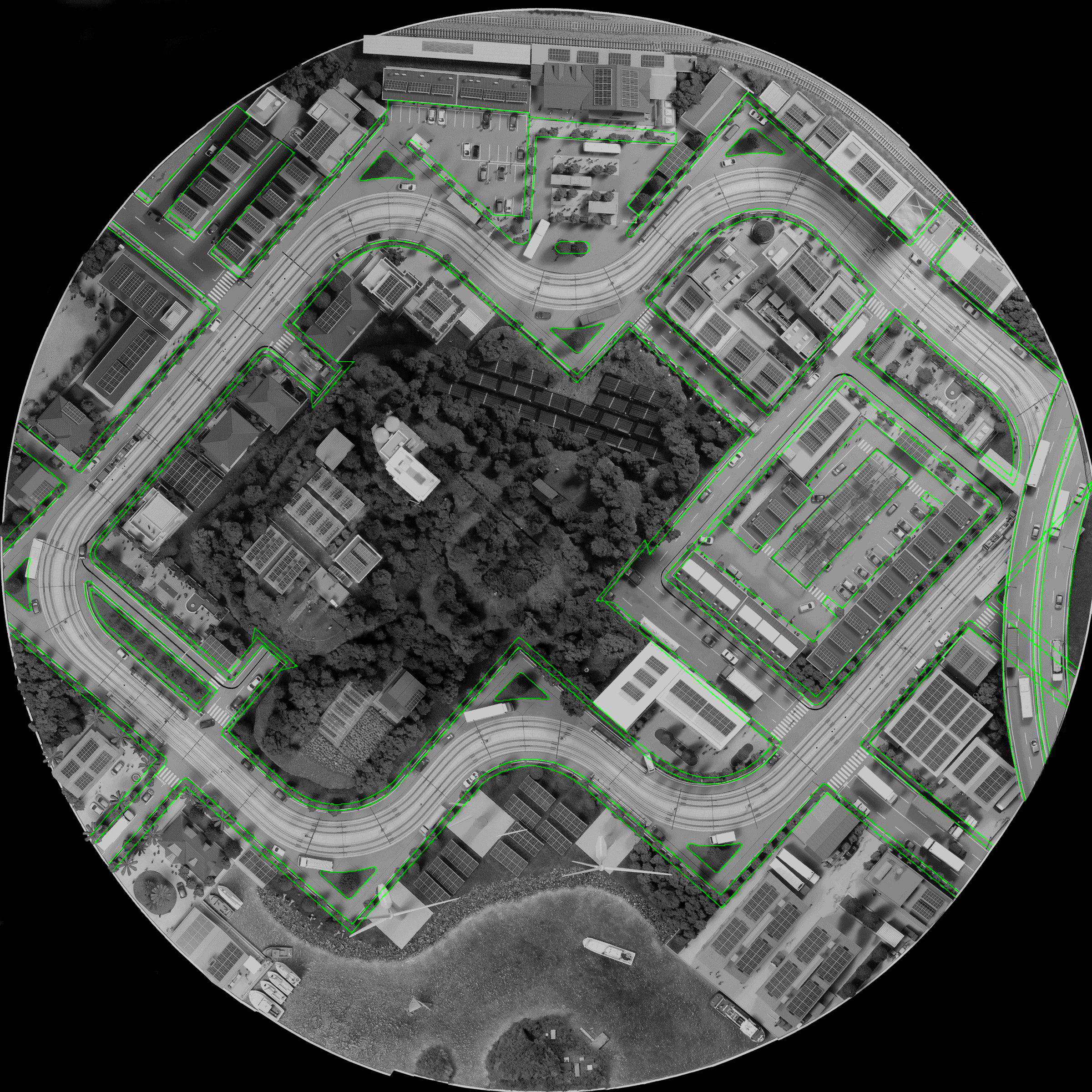
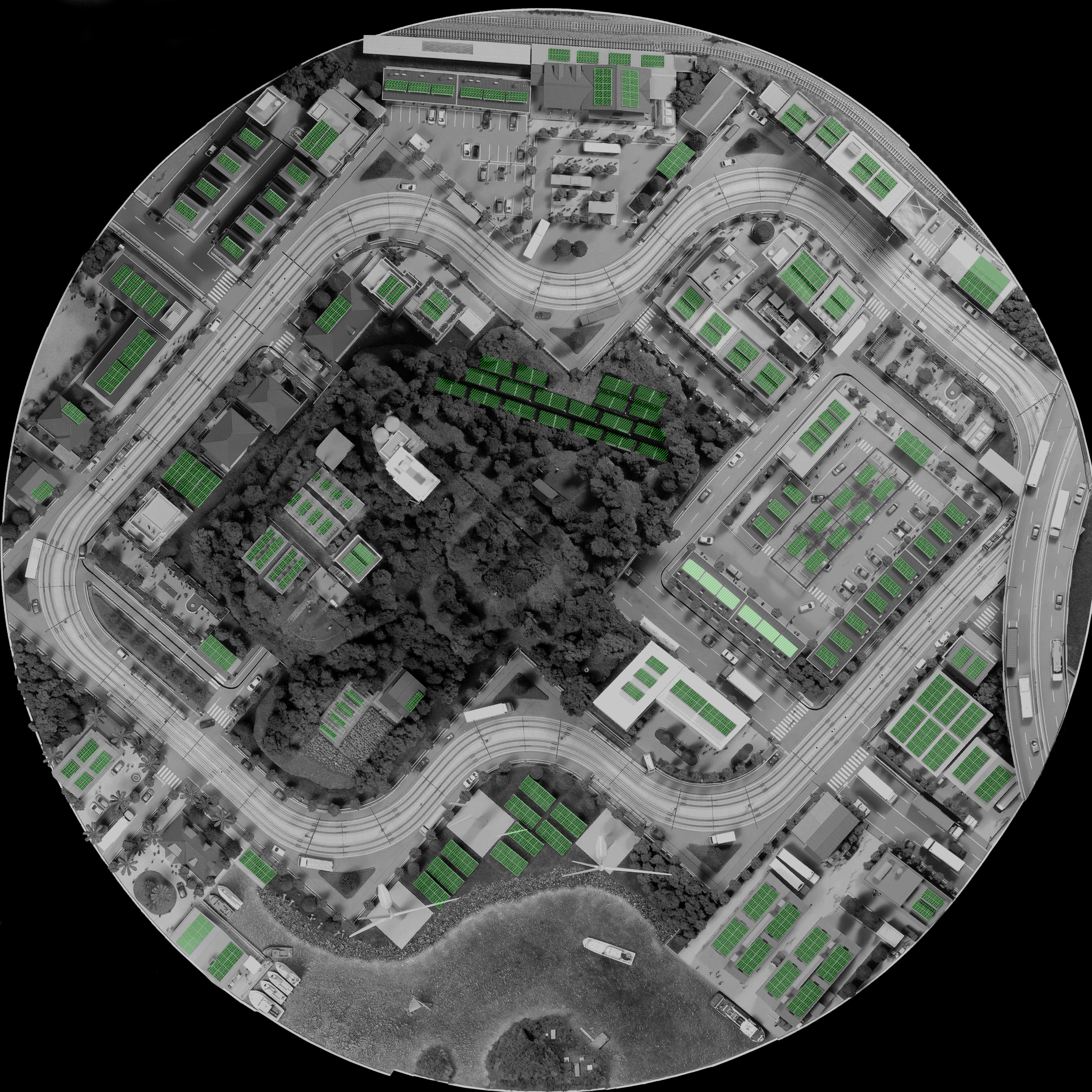
To prevent climate change we first must understand how much carbon dioxide is being absorbed by forests. However, the CO2 absorption rate of forests differs according to region, the type and age of trees, and so on, therefore it is necessary to make measurements using scientific and highly transparent methodologies. Moreover, to ensure that our precious forests are managed appropriately, this should be inspected and verified by an independent third-party organization. The geospatial data we obtain from aerial photos and satellite imagery can be used for calculating, monitoring and verifying the carbon dioxide absorption volume of forests.

-
With all the recent torrential rains, is the slope behind our house safe?
Landslides and slope disasters are increasingly common with recent abnormal weather, typhoons, torrential downpours. Monitoring changes in slopes where slope disasters may potentially occur can give advanced warning of impending disaster and help prevent damage and human casualties.

Technologies and services of Kokusai Kogyo

Shamen-net: a system capable of deteting millimeter-scale slope displacements

Shamen-net measures in real-time, three-dimensionally and on millimeter scale changes to structures and the ground using a global positioning system (GPS)-based automated measurement system. Shamen-net has a multitude of applications, not merely detecting minute changes on disaster-prone slopes, but also at tunnel construction sites in the vicinity of residential areas, highway embankments, dams, and management of facilities such as railways, airports and seaports. Full-time technicians are monitoring the measurement data 24 hours a day, 365 days a year, ensuring they do not miss any slight changes in the slopes. The measured data and other data useful in mitigating or reducing disaster risk is instantly accessible via the Internet.

Monitoring a disaster prone slope 24 hours a day, 365 days a year using Shamen-net.

Shamen-net: for measuring minute slope displacements」

-
Wow, it's pouring down! I wonder if we're at risk of flooding with such heavy rain?
We've developed an application that can instantly check how high water will rise when there is a flood or tsunami in your area. From terrain to structures, 3-D shapes are accurately measured and reproduced using geospatial and augmented reality (AR) technology. Flood conditions can be shown in precise simulations. We can provide life-saving information using smart phones and tablets to those that most need it such as tourists in an unfamiliar area.

Technologies and services of Kokusai Kogyo

AR App that instantly tells you your location's flooding danger.

Our experts at Kokusai Kogyo are developing an augmented reality app that instantly gives a real-life view of flooding risk in any area you may be in by overlaying flood hazard maps with the latest geospatial information on your smartphone or tablet*(this risk assessment is based on the flooding forecast of the hazard map and is not always accurately indicative of the actual flood conditions). We are also using augmented reality technology to help tourists and so on navigate both indoors and outdoors. We're also using the best of geospatial and AR technology to help those involved in managing difficult to access locations -- underground and overhead, borders and special designated areas -- using technologies such as 3-D computer graphic (3DCG) displays.

-
I wonder if my elderly neighbor living alone will be okay if there were a disaster?
Our green communities are safe and secure. We know exactly where infants and elderly likely to need assistance are living so we are prepared for emergency situations such as natural disasters. We developed these communities with built-in emergency commmunication systems and disaster preparedness, risk reduction and evacuation planning as a starting point, so we are well ahead of the game when the unexpected happens.

Technologies and services of Kokusai Kogyo

Solutions to protect all sectors of society from disasters

Kokusai Kogyo utilizes geospatial information to extensively support a range of local government services aimed at protecting residents from disasters. Some examples include helping ascertain exactly who will need special assistance in an emergency situation; forecasting tsunamis, landslides and floods through proprietary simulation technology as well as producing hazard maps. In addition, our disaster preparedness solutions range from full-scale planning of disaster evacuation plans -- with evacuation routes and refuge locations optimized for multiple hazard scenarious -- to actually facilitating emergency drills with local residents and gaining their feedback and vital local knowledge. Our expertise in geospatial data capture, analysis and application adds a new dimention to public sector disaster risk reduction, preparedness and response capabilities.

Real-time hazard system for reducing risk of slope disasters in the event of sudden torrential rain.

Timeline showing changes in rainfall volume

Timeline showing changes in risk of a slope disaster occuring

Climate change countermeasures

-
I heard a convenience store is opening soon in my neighborhood. I wonder what kind of data they base their decisions on where to locate a new store?
How to find an optimal location for a store to achieve high turnover? Is it possible to predict what kind of customers and how many will come to my store? Using geographic information system (GIS)-based visual representation technology the answers to such questions can be seen immediately. We offer wide-ranging marketing solutions -- from optimizing locations for various kinds of retail and service-oriented businesses, to developing sales and merchanising plans.

Technologies and services of Kokusai Kogyo

Our proprietary GIS-based marketing tool: EarthFinder

Our proprietary GIS-based marketing tool, EarthFinder optimizes visualization of all manner of statistical and other information in a map format. This system enables advanced analysis and display of regional characteristics in an easy-to-see format by combining an exhaustive range of data sources -- national census, economic census, basic resident registration, number of households according to annual income, number of automobiles, number of households according to lifestyle, the list goes on -- overlaid on a base map. Moreover, businesses can easily display their own data sets on the map. EarthFinder has advaced statistical analysis, visual representation and reporting tools necessary for trade area analysis, customer management, demographic profiling, and market potential analysis, etc. Our marketing consulting services assist clients in strategic planning to increase sales and locate new stores through to making reports and presentations to get your point across.

Marketing GIS EarthFinder

-
Oh no, an ambulance.
I've heard recently there's a problem with ambulances not being able to find hospitals able to accept their patients. I wonder if our community faces the same problem?
Our green communities employ our proprietary system -- Wide-Area Disaster and Emergency Medical Information System -- that allows ambulance crews to rapidly find hospitals equiped and ready to accept their patient. Therefore our residents can rest assured they will be taken rapidly to the most suitable medical institution possible.

Technologies and services of Kokusai Kogyo

Wide-Area Disaster and Emergency Medical Information System

Our innovative system (Wide-Area Disaster and Emergency Medical Information System) allows emergency response teams and medical institutions to share information in real time. For example, an ambulance crew can use a tablet device to search for medical institutions able to accept their patient based on their current location and recent track-record in accepting patients. Our system is saving lives by enabling the rapid and appropriate selection medical facilities ready to accept emergency patients.

Medical intitution information sharing system

-
I searched on the Internet about those road works. Apparently they are doing work on the sewers and road at the same time. There was a write up about it on the local council website. That's great, doing both jobs at once saves digging up the road twice!
To build communities where everyone can live comfortably, it is necessary to collectively manage local information. Managing all of the different data held by local governments in one place -- a geographic information system or GIS -- greatly increases efficiency such as of public works planning as it allows one to easily ascertain location of facilities and their maintenance and inspection records. For example, the timing of repairs and inspections and installation of equipment becomes easier to determine enabling efficient construction plans. Furthermore, in our city “Green Community”, some information from the local governments has been published to the residents and it is helping their livelihoods.

Technologies and services of Kokusai Kogyo

Genavis: GIS-based administration support tools for making local governments' jobs easier

For local governments to effectively and efficiently conduct their duties they have to manage a wide variety of information. Genavis Series is our geographic information system (GIS) suite of tools for comprehensively supporting urban development and planning by local governments. The basis for this system is a database of highly specialized information required for managing and governing various infrastructure (roads, urban plans, fixed assets, water supply and sewerage pipes, etc.). Not only does sharing the data obtained by each department eliminate overlaping of every-day tasks, increase efficiency and reduce costs, but it also is a great help when multiple departments need to collaborate such as when working to restore vital lifelines in the event of a disaster. Moreover, we are helping achieve high-quality public services by aiding the public release of the information managed in the GIS.

Genavis: a suite of tools for comprehensively supporting public sector service provision

-
I heard on TV that aging infrastructure such as roads is a major problem. Will we be safe if there is a massive earthquake?
In our green communities we use proprietary road survey vehicles packed with advanced sensors and measuring devices to check roads for cracks and ruts. We ensure the safety and comfort of road users by inspecting roads, bridges, tunnels and so on by detecting hidden defects and damage.

Technologies and services of Kokusai Kogyo

Roadman: our proprietary road survey vehicle

We developed Roadman to efficiently and effectively obtain information for managing roads. It enables us to obtain a range of data – according to our clients' needs – on roads such as cracks and rutting by analyzing road surface and roadside images and laser data captured with onboard sensors. Roadman is also an ideal tool for managing road surfaces and for pinpointing which sections of road should be prioritized for maintenance.

Proprietary Roadman vehicle

Captured image

Vehicle-mounted sensors rapidly capture range of spatial data

We have also developed a vehicle-based system for rapidly capturing spatial data, high-definition three-dimensional (3D) data by completely scanning its surroundings while driving through town. This Mobile Measurement System (MMS) is equipped with the latest sensing devices such as an omnidirectional camera, stereo camera and laser scanner. This enables us to capture data to help our clients manage and maintain roads, bridges, tunnels, etc., measure power line sag, survey the state of signs and advertising and of night-time road sign reflectiveness, and measure the brightness of street lights.

Vehicle mounted with advanced surveying sensors

Terrestial-based surveying

-
Without any roads to guide them it's amazing that boats can be come into port without crashing or running aground. I wonder how they do it?
A ship captain navigates according ocean charts. If the ship goes off course it can run aground. An ocean chart is a map showing ocean navigational routes. This information is vital for safely navigating an ocean-going vessel.

Technologies and services of Kokusai Kogyo

Surveying technology to accurately survey ocean and lake floors.

One cannot see the bottom of the sea from the sea surface. Furthermore, the condition of the seabed is ever-changing such as by the movement of sand. Shipping routes can also become shallower due ocean current-induced change. To protect the safety of boats there is a need to regularly monitor the seabed and manage shipping lanes. Our experts at Kokusai Kogyo can obtain highly accurate seabed topographical data using underwater sonar surveying technology such as narrow multi-beam echosounders. Such highly accurate topographic data can be used for a multitude of purposes such as making sure shoals haven't developed in shipping lanes, monitoring sand eroded from coastlines, and calculating the volume of sediment buildup on a dam lake bed.

Hydrographic surveying