Miscellaneous
Updated Jun. 19. 2011
Kokusai Kogyo is committed to playing our part in the current recovery efforts as we continue to leverage our group-wide resource to gather and share data and information regarding the damages caused by the Great East Japan Earthquake.
Tsunami damages by region
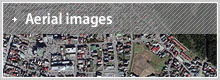
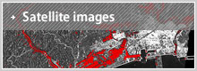
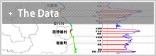
This is a collection of PDF documents with information regarding the damages caused by tsunami for the prefectures, Iwate, Miyagi, and Fukushima. It contains topographic maps, satellite images, oblique images, etc. before and after the earthquake, providing details of the impact.
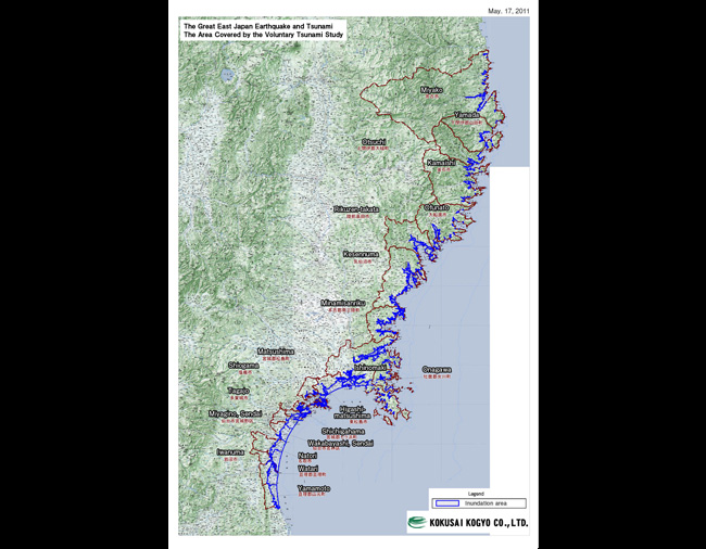
Post-Tsunami impact research
This is a voluntary study we have conducted to verify the impact of the tsunami from Miyako city to Watari county in Miyagi prefecture. We studied the aerial photo taken after the quake to estimate the level of inundation from the tsunami which we confirmed through a field study.